Securing the future of vermont's liquid assets through sustainable infrastructure and strategic oversight.
Vermont water resource management
The Intersection of the Clean Water Act compliance, Agriculture Resilience, and Innovative Cooling Technologies.
Maintaining
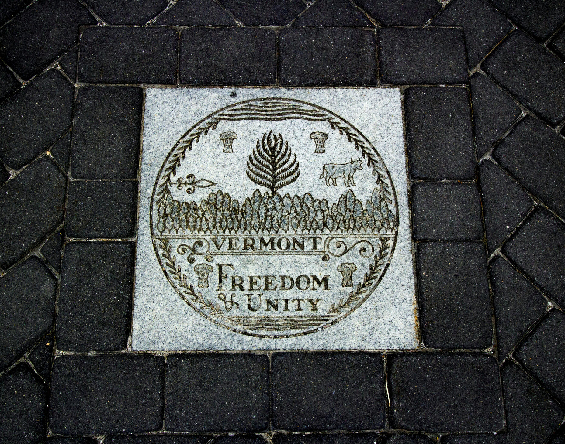
Freedom and Unity
- And a sustainable future.
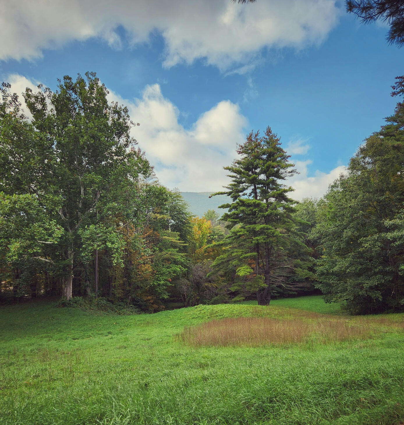
Vermont's Fresh Water:
Where Does it go?
Vermont's Natural Environment:
Is Our Natural Beauty being Harmed?
Environmental Protection
Wildlife Refuge
&
Natural Resources
Welcome
To
Vermont
Monitoring 800+ Lakes and Ponds
Oversight of 23,000+ Miles of Rivers and Streams in the state of
Vermont - Est. March 4, 1791
Drinking Water:
Is the Rapid Development Harming Our Tap Water Quality?
Sustainability:
What Is The Future For Vermont's Water Resources?
© VTwater Resource Group. All Rights Reserved.
Strategic Inquiries: [email protected] - [Submit LOI]Official Notice: VTWater.com is a privately owned and operated digital platform. It is not affiliated with, endorsed by, or a part of the Vermont Agency of Natural Resources (ANR), the Department of Environmental Conservation (DEC), or any other state or federal agency. All embedded data from state resources is used for informational purposes under public record and fair use guidelines.
Note: All inquiries are treated with strict confidentiality. Principals or authorized legal representatives only. Responses are prioritized based on the strategic alignment of the acquiring entity.
© VTwater Resource Group. All Rights Reserved.
Strategic Inquiries: [email protected]
- [Submit LOI]Official Notice: VTWater.com is a privately owned and operated digital platform. It is not affiliated with, endorsed by, or a part of the Vermont Agency of Natural Resources (ANR), the Department of Environmental Conservation (DEC), or any other state or federal agency. All embedded data from state resources is used for informational purposes under public record and fair use guidelines.
Vermont's Watershed Systemcomprises four major drainage basins—Lake Champlain, Connecticut River, St. Lawrence, and Hudson River—which manage the state's 800+ lakes, 23,000+ miles of rivers, and 300,000+ acres of wetlands. The Vermont Department of Environmental Conservation (DEC) organizes these into 15 tactical basin plans, focusing on water quality, restoration, and flood resilience.Key Components of Vermont's Watershed System:Major Drainage Basins:Lake Champlain Basin: Covers a significant portion of western Vermont, draining into the St. Lawrence River via the Richelieu River. It includes major sub-basins like the Winooski, Missisquoi, Lamoille, and Otter Creek.Connecticut River Basin: Drains the eastern side of the state, with major tributaries including the White, Passumpsic, and West rivers.St. Lawrence/Memphremagog Basin: Covers parts of the Northeast Kingdom, draining north.Hudson River Basin: Covers a small area in southwestern Vermont.Management and Protection:
Tactical Basin Planning: The DEC develops plans for each of the 15 watersheds to address water quality, prioritize restoration projects, and manage stormwater and wastewater.Clean Water Initiatives: Act 64, or the Vermont Clean Water Act, mandates action to reduce phosphorus and pollution, particularly within the Lake Champlain basin.Regulatory Programs: The Watershed Management Division (WMD) uses science-based programs to manage wetlands, rivers, and lakes, regulating activities like filling, draining, and vegetation clearing.Environmental Functions:
Habitat & Resources: The systems provide essential habitats and support biodiversity.Flood Resilience: Forests and natural, undeveloped land in the watershed help manage stormwater runoff and reduce flood risks.The system is characterized by its reliance on mountainous terrain to delineate sub-watersheds and a strong emphasis on reducing non-point source pollution through, for example, maintaining natural, forested buffers.
Visually displayed wellhead protection areas:Groundwater SPA:
This GIS layer consists of the geographic location of the Source Protection Areas for active and inactive Public Community and Non-Transient Non-Community groundwater sources labeled by the Water System Identification Number (WSID) and source number (i.e. WL001 or IN002). The source locations are drawn from the State Drinking Water database (SDWIS). The water sources are wells and springs that predate regulations developed in the 1970s to new sources under review now.Source Protection Area (SPA) boundaries:
have been located on RF 24000 & RF 25000 scale USGS topographic maps by Water Supply Division (DEC) and VT Dept of Health (historical) personnel. Buffered SPAs are based on the point location of the water source(s).
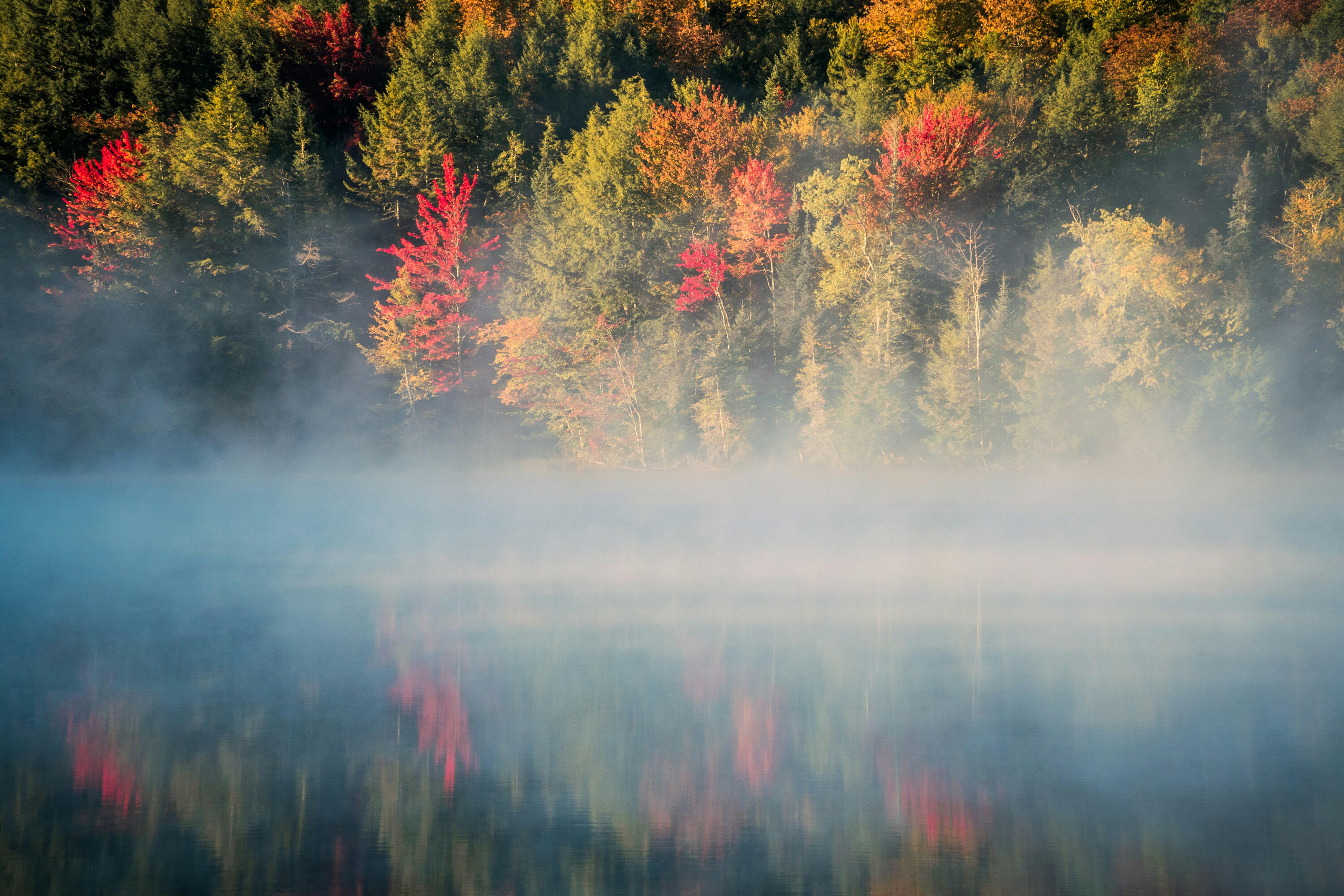
Vermont’s river system
consists of 15 major drainage basins draining into four main watersheds—Lake Champlain, the Connecticut River, the Hudson River, and the St. Lawrence. Key rivers include the 105-mile Otter Creek, Winooski, Missisquoi, and White Rivers. The network is essential for climate resilience, requiring management of floodplains to handle high water.Key Rivers:Otter Creek: The longest river entirely within Vermont (105 miles), flowing north into Lake Champlain.Winooski River: Flows 90 miles from Cabot to Lake Champlain, passing through Montpelier and Burlington.Missisquoi River: A designated "Wild and Scenic" river known for its largely agricultural watershed.White River: A major, relatively free-flowing tributary to the Connecticut River.
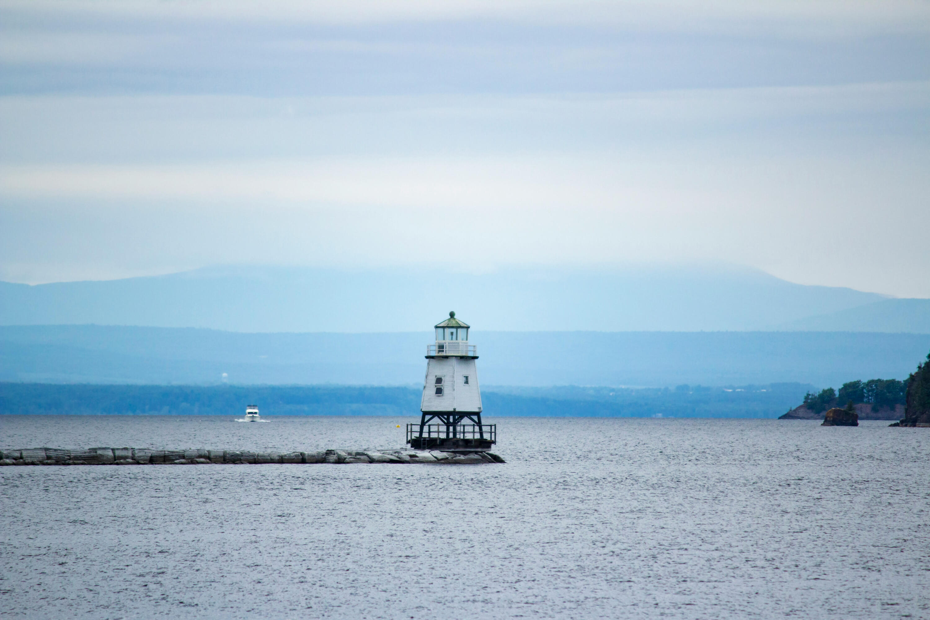
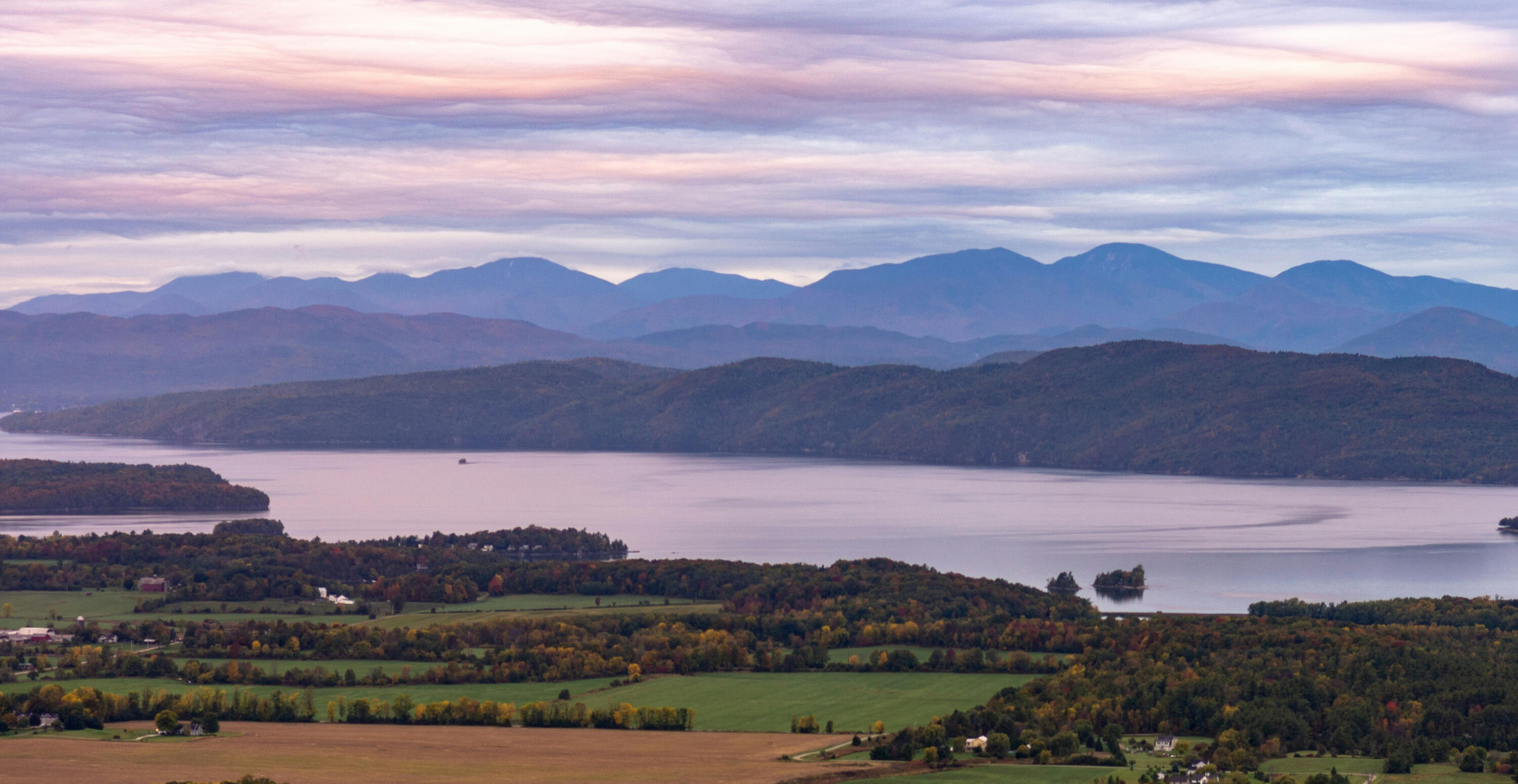
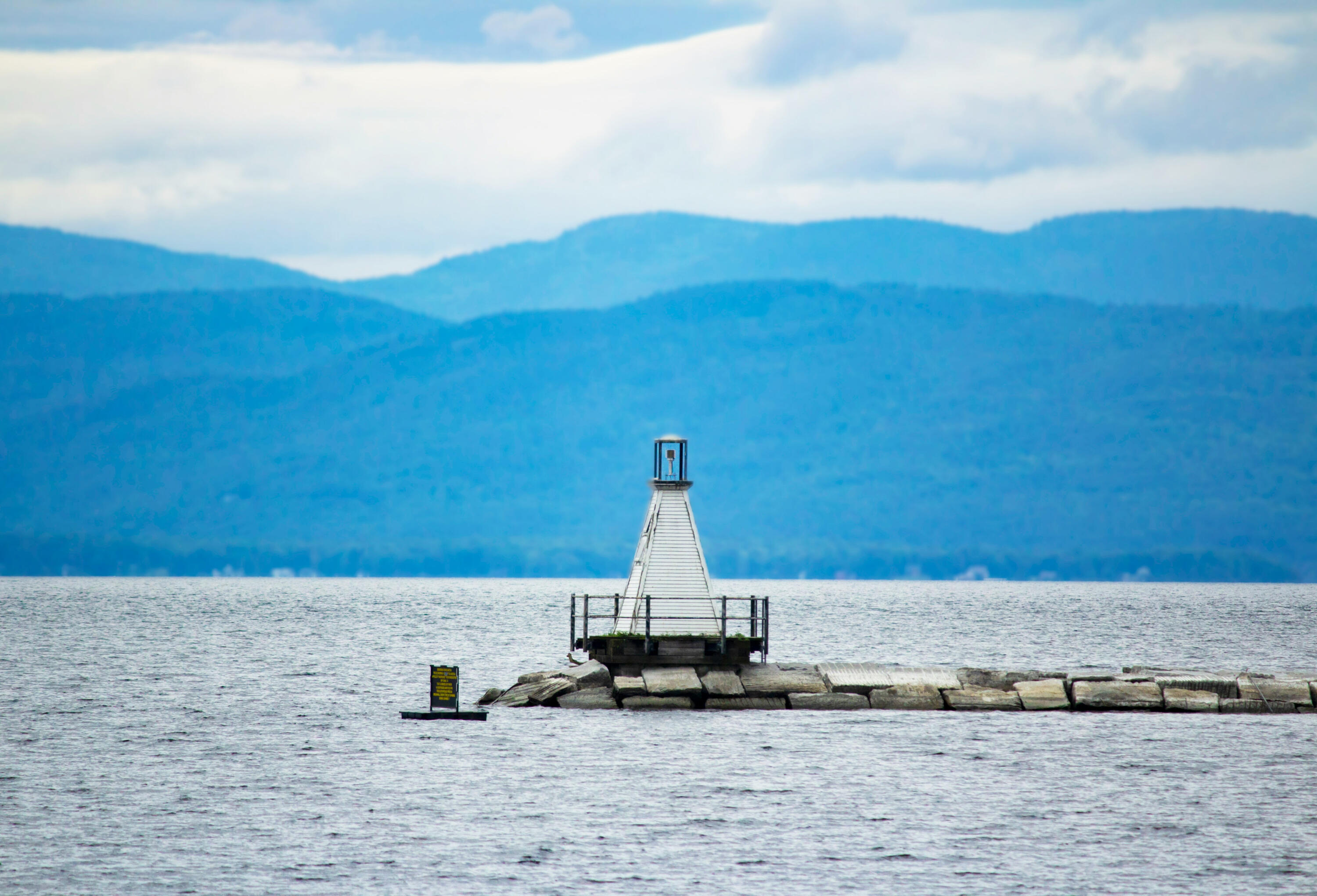
Vermont boasts
over 800 lakes and ponds, ranging from the massive 120-mile-long Lake Champlain to smaller, pristine glacial lakes like Lake Willoughby (over 300 ft deep).The system, vital for recreation and ecology, is managed by the Vermont Department of Environmental Conservation, focusing on monitoring water quality, managing invasive species, and protecting watersheds, with 13 "sentinel lakes" tracked for climate change.Key Aspects of Vermont's Lake SystemLake Champlain:
As the 8th largest, naturally occurring freshwater lake in the U.S., it spans over 120 miles, with a maximum depth of 400 ft and 587 miles of shoreline. It is divided into five main segments: South Lake, Main Lake, Malletts Bay, Inland Sea, and Missisquoi Bay.Major Lakes & Ponds:
Beyond Champlain, significant lakes include Lake Memphremagog and Lake Bomoseen. Other notable water bodies include Lake Willoughby (300+ ft deep, among New England's deepest), Lake Dunmore, and Lake Fairlee.Lake Formation:
Most Vermont lakes were formed by glaciers scouring the landscape or by damming from glacial deposits.Environmental Monitoring:
The state monitors over 800 lakes, with a focus on over 200 that are larger than 20 acres. The Vermont Department of Environmental Conservation maintains a "Lake Score Card" for water health.Water Quality & Management:
The Vermont Department of Environmental Conservation utilizes programs like the Lay Monitoring Program to track ice-in/ice-out dates and manage lake health. Key issues include managing over 50 aquatic invasive species, such as zebra mussels in Lake Champlain.Geological Significance:
Lake Champlain features the Champlain Thrust Fault, a 500-million-year-old rock formation, while areas like Fisk Quarry reveal ancient coral reefs.Major Lake RegionsChamplain Valley: Dominated by Lake Champlain and its surrounding wetlands and beaches.Northeast Kingdom: Known for deeper, clearer, and more oligotrophic lakes.Central Vermont: Features numerous smaller, scenic recreational lakes.
The Vermont Department of Environmental Conservation (VT DEC)
re-issued the Municipal Separate Storm Sewer System (MS4) General Permit on September 28, 2023, requiring designated municipalities to manage stormwater runoff through Stormwater Management Programs (SWMP) and Flow Restoration Plans (FRPs). Regulated MS4s must submit a Notice of Intent (NOI) and updated plans to address pollution in urbanized areas, often involving phosphorus control plans and watershed-specific restoration.Key aspects of the Vermont MS4 permit include:Permit Scope:
The 2023 permit covers small MS4s within designated urbanized areas, primarily targeting stormwater discharges from municipal drainage systems.Key Requirements:
Municipalities must implement a SWMP, which includes developing FRPs for impaired streams and often updating Post-Construction Control Plans (PCP).Important Deadlines:
Following the September 2023 re-issuance, MS4s were required to submit an NOI by November 27, 2023, and a complete SWMP with updated plans by March 26, 2024.Transportation (TS4) General Permit:
A separate permit, the TS4, covers VTrans-owned or controlled impervious surfaces, combining requirements for MS4s, industrial, and state operational stormwater permits.Compliance & Local Requirements:
Municipalities must track and reduce pollutants, with local examples like Burlington requiring reviews for disturbances over 400 square feet.
© VTwater Resource Group. All Rights Reserved.
Strategic Inquiries: [email protected]
- [Submit LOI]Official Notice: VTWater.com is a privately owned and operated digital platform. It is not affiliated with, endorsed by, or a part of the Vermont Agency of Natural Resources (ANR), the Department of Environmental Conservation (DEC), or any other state or federal agency. All embedded data from state resources is used for informational purposes under public record and fair use guidelines.
Summary of Various Vermont Law & Ordinance Information
- In Relation to Aquatic Life
1. Lakes and ponds where baitfish can be used, but may not be used on other waters, and where they are prohibited altogether. Known as Restricted Water. Baitfish Rule: 10 App. V.S.A. § 141Baitfish Rule (10 App. V.S.A. § 141). The purpose of this rule is to: a) conserve and protect the fish, and fisheries in the state, b) maintain the best health of species and natural ecological systems in the state, c) prevent the introduction or spread of diseases or parasites harmful to humans and wild species, and d) prevent the escape or release of non-native species or species that injure or compete with natural ecological systems and processes.
2. Streams and rivers where baitfish can be used, but may not be used on other waters. Known as Restricted Water. Baitfish Rule: 10 App. V.S.A. § 141.Baitfish Rule (10 App. V.S.A. § 141). The purpose of this rule is to: a) conserve and protect the fish, and fisheries in the state, b) maintain the best health of species and natural ecological systems in the state, c) prevent the introduction or spread of diseases or parasites harmful to humans and wild species, and d) prevent the escape or release of non-native species or species that injure or compete with natural ecological systems and processes.
© VTwater Resource Group. All Rights Reserved.
Strategic Inquiries: [email protected] - [Submit LOI]Official Notice: VTWater.com is a privately owned and operated digital platform. It is not affiliated with, endorsed by, or a part of the Vermont Agency of Natural Resources (ANR), the Department of Environmental Conservation (DEC), or any other state or federal agency. All embedded data from state resources is used for informational purposes under public record and fair use guidelines.
The location of active and inactive public water sources in VermontThis GIS layer consists of the geographic location of active and inactive public (Community, non-transient non-community and transient non-community) water sources labeled by the Water System Identification Number (WSID) and source number (i.e. WL001 or IN002). The water source data and locations are drawn from the State Drinking Water database (SDWIS). The water sources are wells, springs and surface water intakes that predate regulations developed in the 1970s to the present. SDWIS is the repository for state and federal information collected from and about each public water system in Vermont, including bulk and bottled water facilities along with water production and water quality data.
© VTwater Resource Group. All Rights Reserved.
Strategic Inquiries: [email protected] - [Submit LOI]Official Notice: VTWater.com is a privately owned and operated digital platform. It is not affiliated with, endorsed by, or a part of the Vermont Agency of Natural Resources (ANR), the Department of Environmental Conservation (DEC), or any other state or federal agency. All embedded data from state resources is used for informational purposes under public record and fair use guidelines.